
Page 10 - Album Monografic Judetul Teleorman
P. 10
80 %of thesurface.
The main river is Vedea river, which crosses its
territory, in diagonal, with a North-West South - East
direction, on a distance of 120 km, from Socetu to the
junctionwithDanube.
CălmăŃuiul is the second river, as importance, and
it comes from Boian Plain, it has a length of 118 km,
and it flows into Suhaia lake, situated at the contact
withtheDanube(Valley)Meadow.
Olt River sews the county territory on a length of
20 km in the South - West part, before the junction with
Danube.
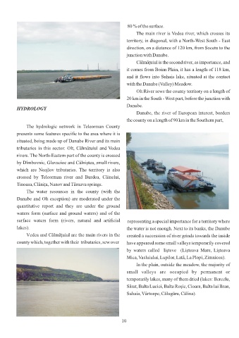
HYDROLOGY
Danube, the river of European interest, borders
thecountyon alengthof90 kminthe Southernpart,
The hydrologic network in Teleorman County
presents some features specific to the area where it is
situated, being made up of Danube River and its main
tributaries in this sector: Olt, Călmătuiul and Vedea
rivers. The North-Eastern part of the county is crossed
by Dîmbovnic, Glavacioc and Câlniştea, small rivers,
which are Neajlov tributaries. The territory is also
crossed by Teleorman river and Burdea, Câinelui,
Tinoasa,ClăniŃa,Nanov andTârnavasprings.
The water resources in the county (with the
Danube and Olt exception) are moderated under the
quantitative report and they are under the ground
waters form (surface and ground waters) and of the
surface waters form (rivers, natural and artificial representing a special importance for a territory where
lakes). the water is not enough. Next to its banks, the Danube
V edea and CălmăŃuiul are the main rivers in the created a succession of river grinds towards the inside
countywhich,togetherwiththeir tributaries,sew over have appeared some small valleys temporarily covered
by waters called lişteve (Lişteava Mare, Lişteava
Mica,Vasluiului,Lupilor, Lată, LaPlopi,Zimnicea).
In the plain, outside the meadow, the majority of
small valleys are occupied by permanent or
temporarily lakes, many of them dried (lakes: Bercelu,
Sărat, Balta Luciei, Balta Roşie, Cioara, Balta lui Bran,
Suhaia,Vârtoape,Călugăru,Călina).
10